RoboGEO - Geocode Digital Photos
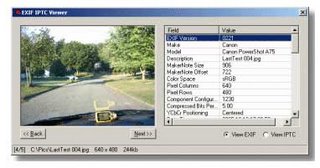
 RoboGEO 3.4 is a Windows software that geocodes digital photos with latitude, longitude and altitude information. It can do that from a GPS tracklog, an imported GPX file, from GPS waypoints, or by using the values that you manually enter.
Appraisal , Real Estate , Appraiser , Technology , GPS , mobile

0 Comments:
Post a Comment
<< Home